
Apps for
public transport
We build public transport apps: the ones passengers use in cities across the country, with each government’s or company’s brand, and the ones concessionaires use to run the service. All of them with live data from the WARA platform.
Passengers need information too.
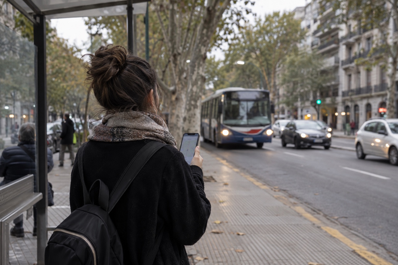
Knowing where the bus is, when it will arrive and whether the service has changed transforms the way people travel. Each app carries the identity of its city or company and pulls real-time data from the platform: vehicle locations, routes, schedules and service updates.
Apps for passengers
What passengers hold in their hand
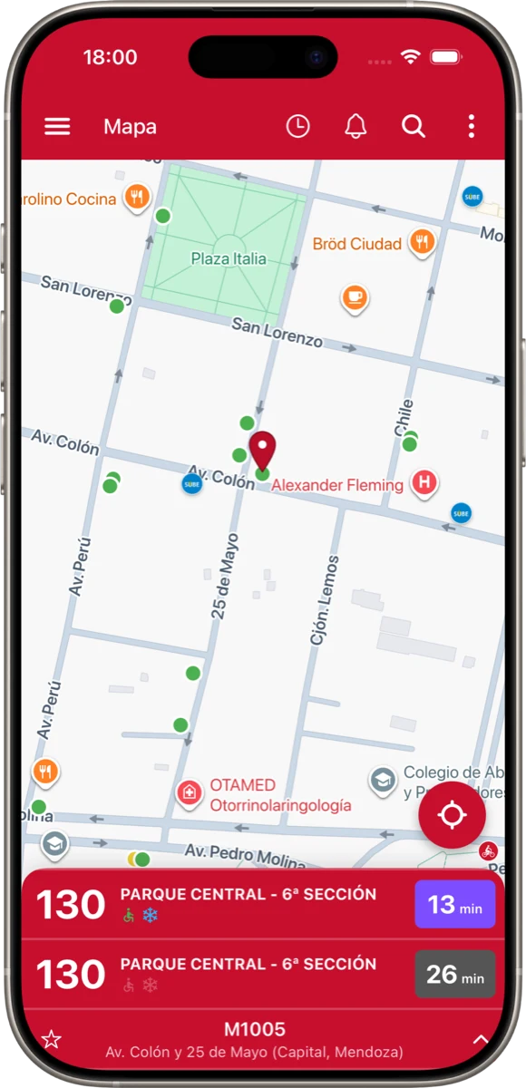
Real-time location
Where each vehicle is, live on the map.
Routes and stops
Lines, stops and routes across the whole network in one place.
Arrival times
How long until the next vehicle reaches each stop.
Service updates
Detours, schedule changes and notices, with notifications.
Favorites
Each passenger’s lines and stops, one tap away.
Own brand
Each government’s or company’s identity, on iOS and Android.
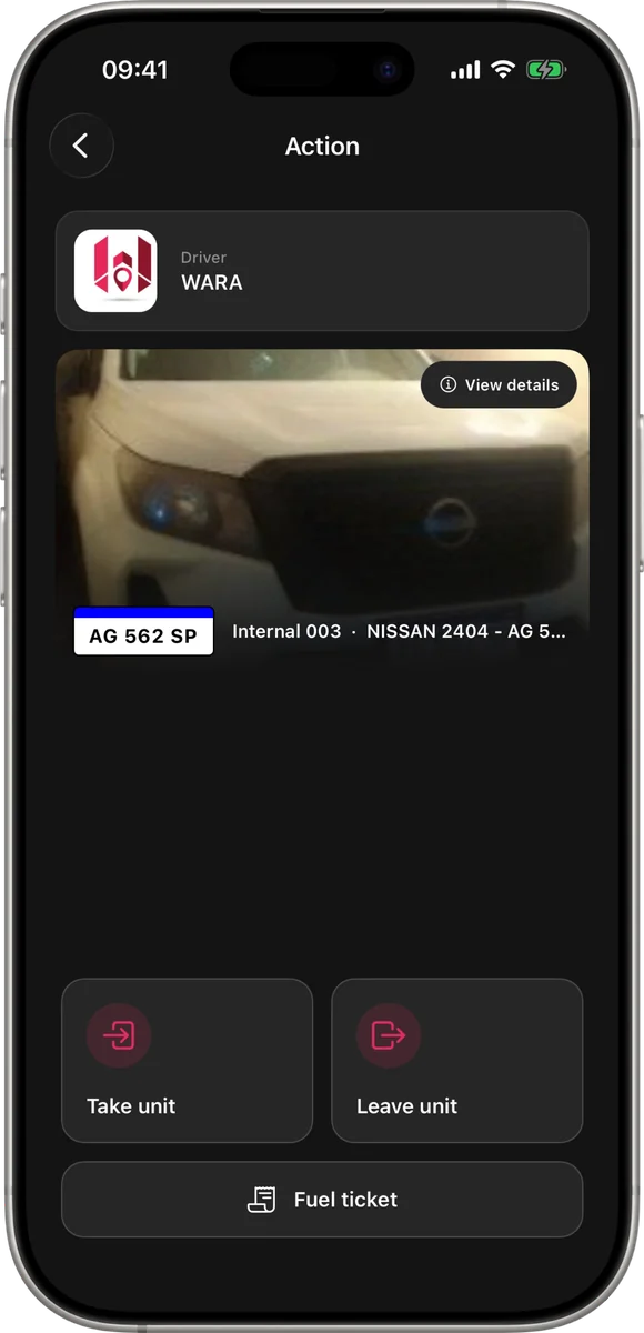
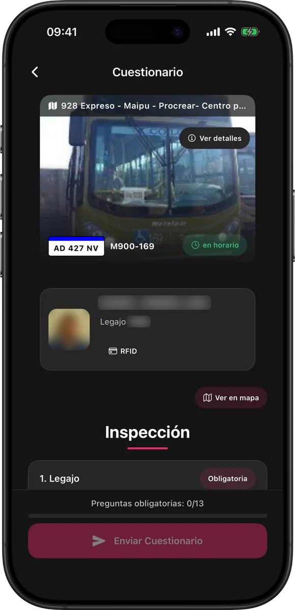
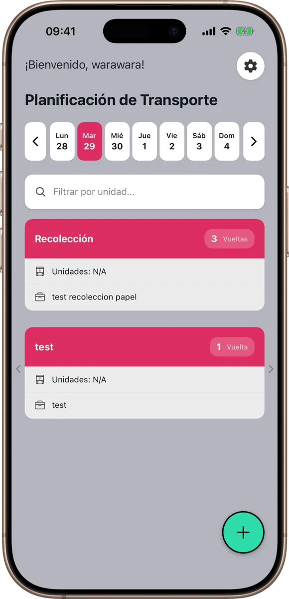
Apps already on the street













Apps for concessionaires
One app for each role in the service
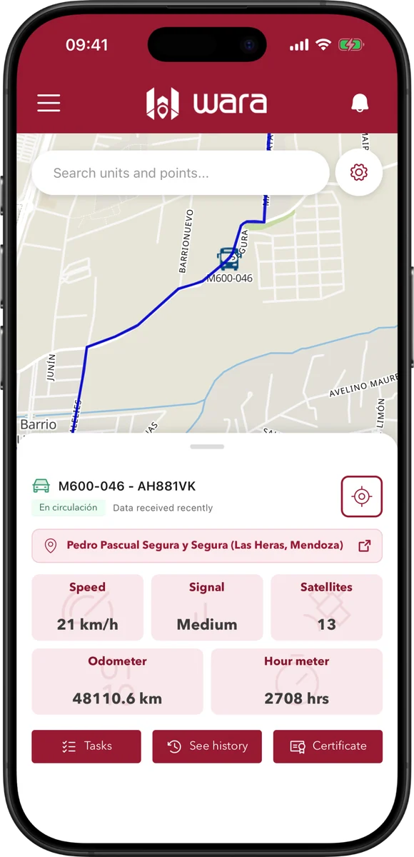
Management and supervision
The platform on your phone: each vehicle’s location, alerts and fleet status, from anywhere.
Drivers
Assigned route, schedules, service start and close, incident reports and contact with dispatch.
Inspection
On-street and terminal service checks, with each vehicle’s information at hand.
Administration
Each driver’s shifts and services in digital form, with no paper sheets.
Other kinds of apps
Public sector and passenger transport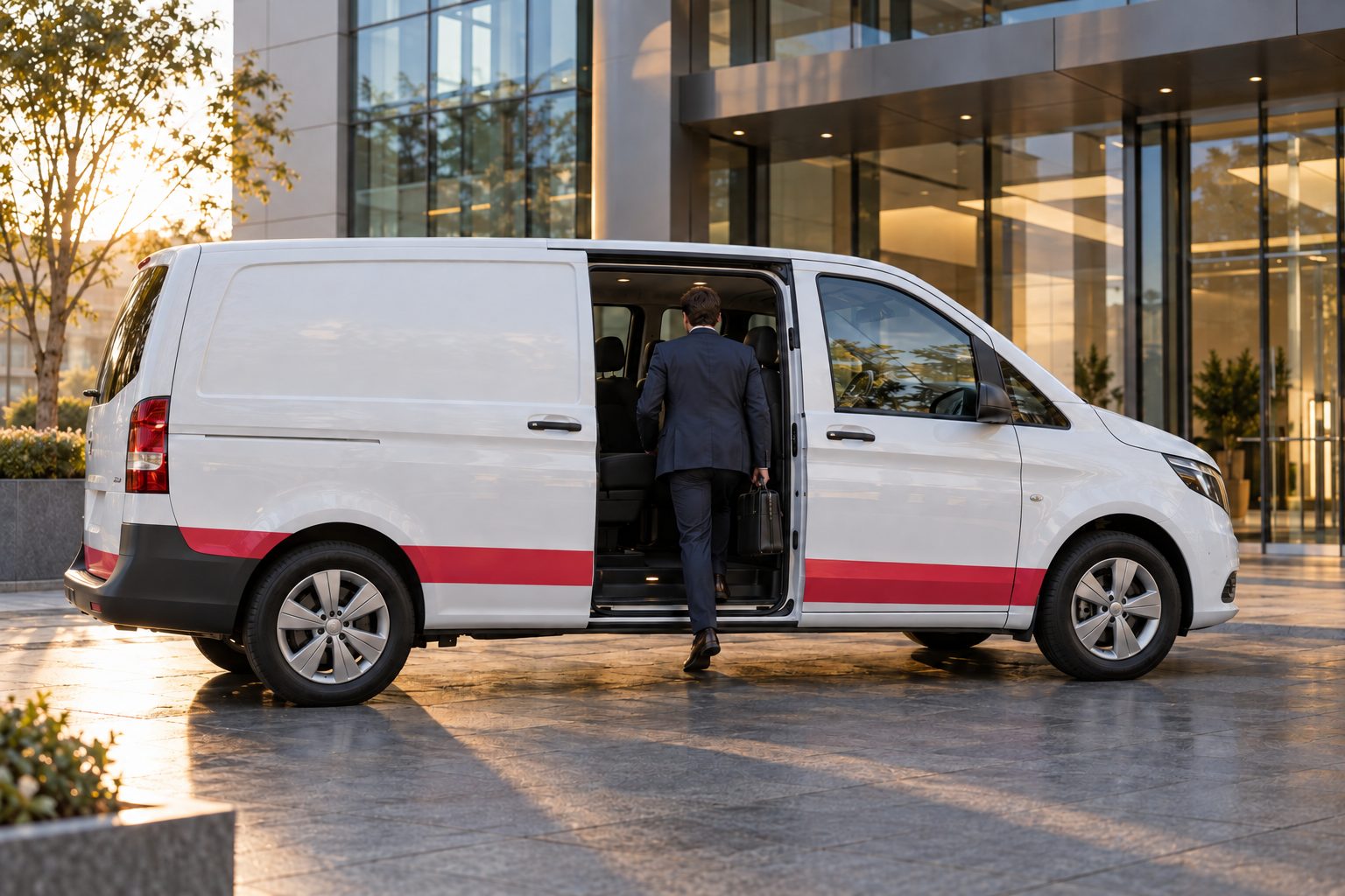
Apps for the private sector
REVI, the app for corporate mobility: it connects passengers, drivers and coordinators in the same service.
- Bookings
- Routes
- Assignments
- Service updates
Apps for the public sector
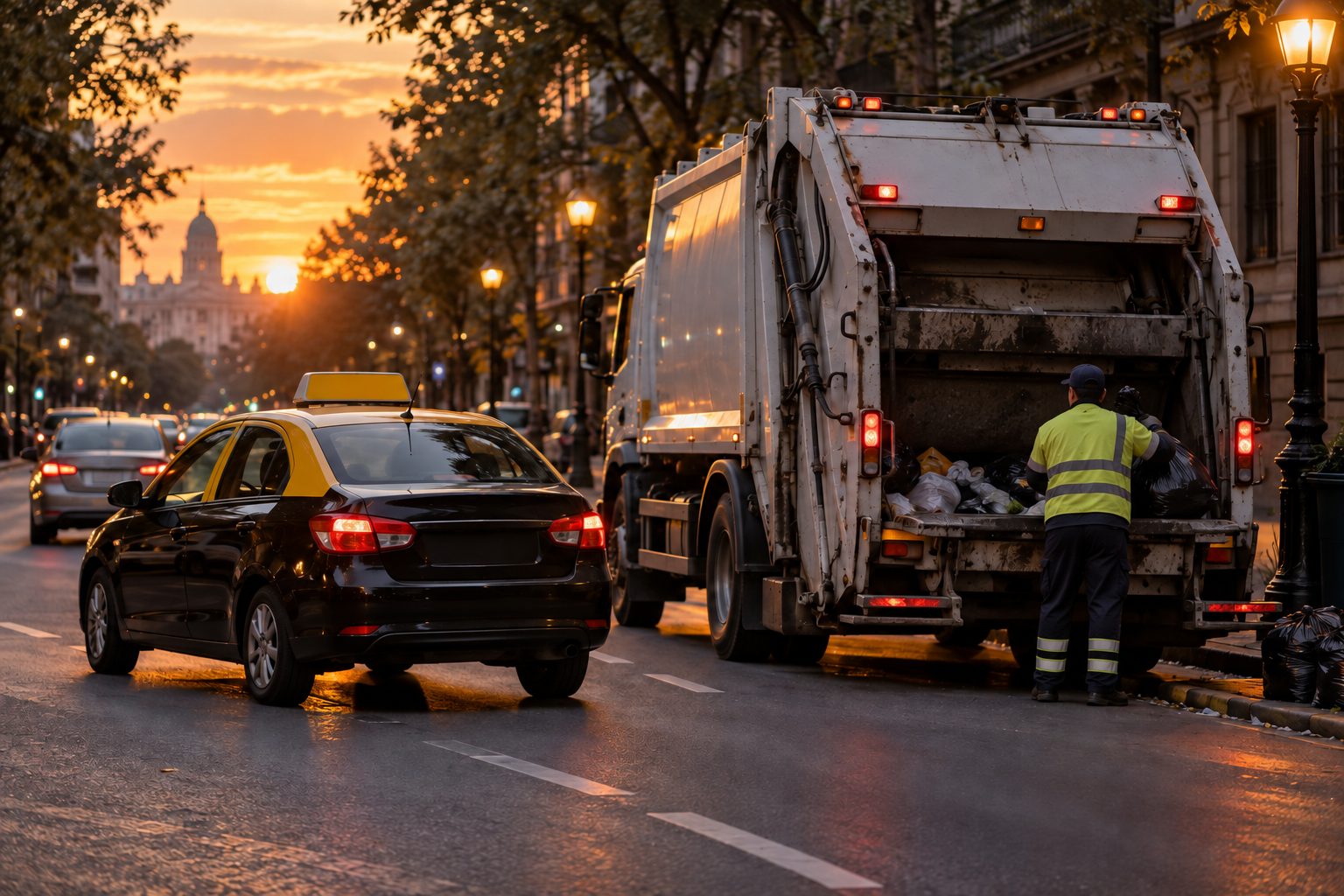
Apps for municipalities and public agencies: waste collection, which connects the service with residents in real time, and taxis, which modernizes how the service is run and the passenger experience.
- Waste collection app
- Taxi app